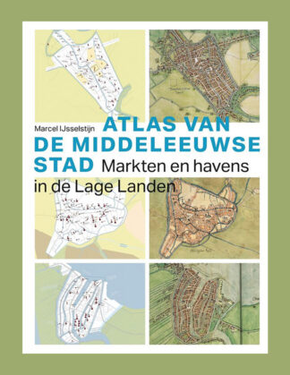
Atlas van de Middeleeuwse stad: Markten en havens in de Lage Landen
Marcel IJsselstijn
Thoth, 2026
Original price was: €99,50.€69,90Current price is: €69,90.
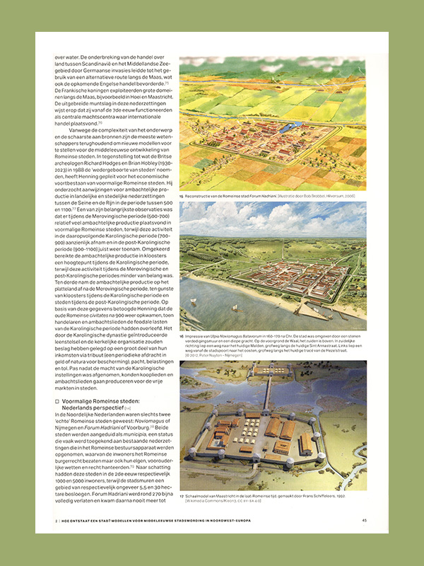
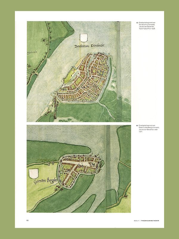
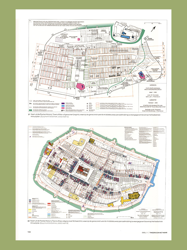
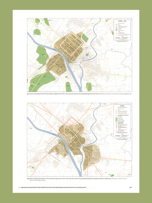
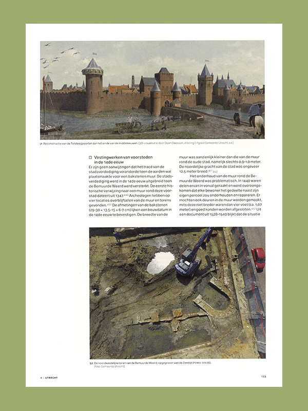
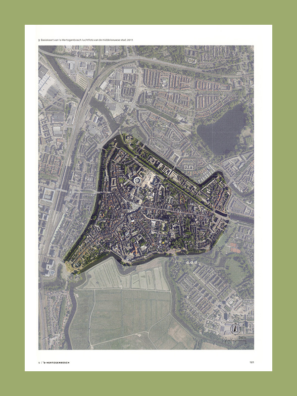
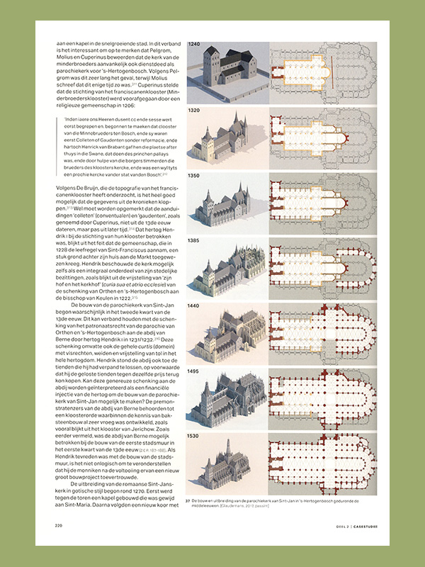
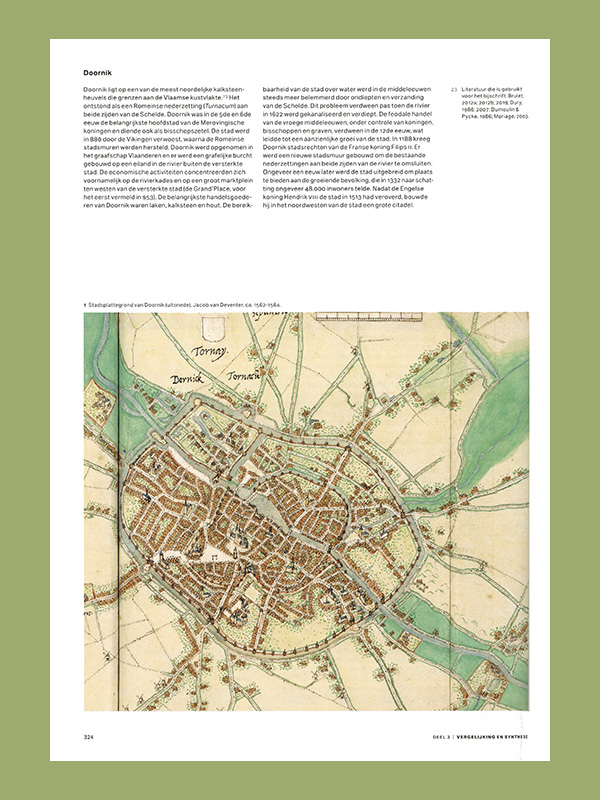
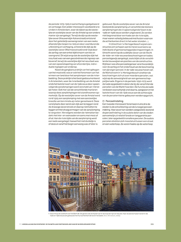
Anyone walking through a historic city center in the Netherlands, Belgium, Luxembourg, or parts of Northern France often strolls along streets and squares, through alleys, and past canals that have existed since the late Middle Ages. At that time, the Low Countries transformed from a sparsely populated region into one of the most urbanized areas of Europe. Although much is known about, for example, city rights, trade, and the relationship between administrators and citizens, the city maps drawn by cartographer Jacob van Deventer around 1560 are usually the oldest visual representations of those cities. Based on the most recent historical, archaeological, physical-geographical, and historical-geographical knowledge, the ATLAS OF THE MEDIEVAL CITY provides insight into the urban and spatial developments that preceded this period. The three largest cities in the northern Netherlands around 1560 take center stage: Amsterdam, Utrecht, and ’s-Hertogenbosch. Packed with new reconstruction maps and beautiful imagery, this monumental atlas illuminates the medieval history of cities in the Low Countries through the lens of the most important surviving heritage: the inner city. IN DUTCH!
ISBN: 9789068689006